


Saigne Lac Chambon

JeanPierreNancy
User


Length
29 km

Max alt
1096 m

Uphill gradient
818 m
Km-Effort
40 km

Min alt
779 m

Downhill gradient
820 m
Boucle
Yes
Creation date :
2019-07-10 11:59:33.695
Updated on :
2019-07-10 15:43:51.251
3h42
Difficulty : Medium

FREE GPS app for hiking
 SityTrail
IGN / Geographical institutes
SityTrail Plus
The world is yours!
About
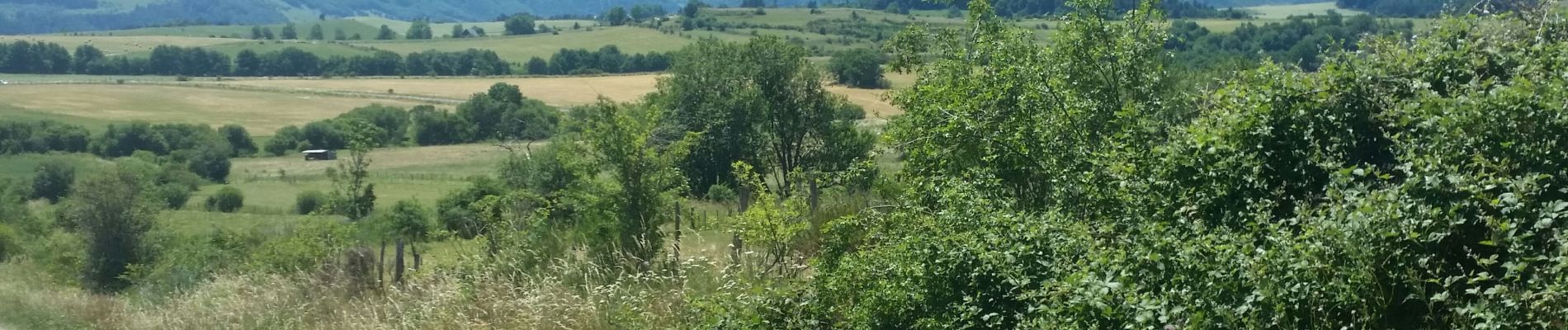
Trail Mountain bike of 29 km to be discovered at Auvergne-Rhône-Alpes, Puy-de-Dôme, Le Vernet-Sainte-Marguerite. This trail is proposed by JeanPierreNancy.
Photos


Positioning
Country:
France
Region :
Auvergne-Rhône-Alpes
Department/Province :
Puy-de-Dôme
Municipality :
Le Vernet-Sainte-Marguerite
Location:
Unknown
Start:(Dec)
Start:(UTM)
494533 ; 5050672 (31T) N.
Comments